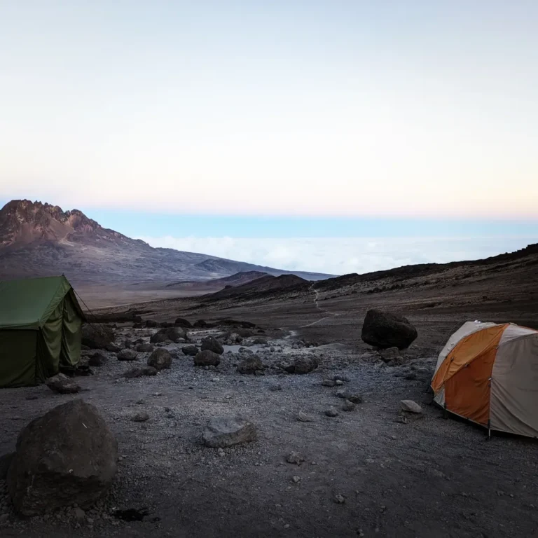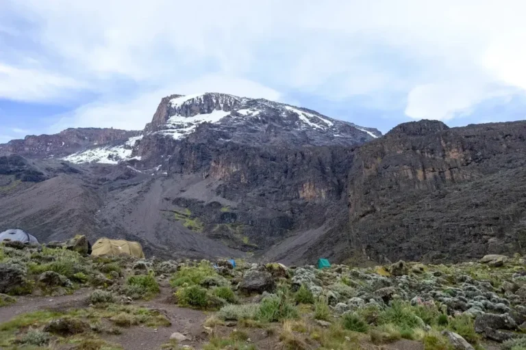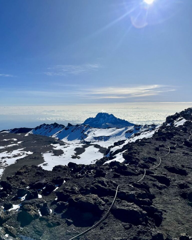
()Stand at Barafu Camp or Kibo Hut on a clear afternoon and look east. The broken, angular rock wall rising across the saddle, dark against the sky, is Mawenzi — Kilimanjaro’s second-highest summit at 5,149 metres (16,893 feet). It is nothing like Kibo, the rounded dome everyone is climbing toward. Mawenzi is all edges: pinnacles, spires, gullies, and near-vertical rock faces eroded by half a million years of freeze-thaw cycles working on a volcano that stopped being rebuilt by magma.
Almost no one climbs Mawenzi. Standard Kilimanjaro itineraries go nowhere near its summit. Its main peak, Hans Meyer Peak, is a technical climb requiring rock-climbing gear and experience — not a trek. And yet Mawenzi is one of the most visually memorable features of the Kilimanjaro massif, and the peak most climbers end up photographing from camp without quite understanding what they’re looking at.
This post covers what Mawenzi is, why it looks the way it does, how it differs from Kibo, which routes get you closest to it, and what climbing it actually involves for the small number of people who attempt it.
Where Mawenzi Sits
Kilimanjaro is a massif — a single mountain complex made up of three volcanic centres that rose, erupted, and partially collapsed over 2.5 million years. Kibo is the central and highest cone. Shira is the westernmost and oldest, now reduced to a high plateau. Mawenzi is the easternmost, connected to Kibo by a wide, flat saddle roughly 4,400m (14,435 ft) above sea level.
On a map, Mawenzi looks like a compact roughly 2km wide jagged cluster of peaks, sitting east of Kibo and connected to it by the saddle. From Moshi, it’s the sharp, serrated profile you see to the right of the main dome. From the air — any flight over northern Tanzania — the two peaks read as separate summits connected by a long, barren high-altitude plain.
Mawenzi has several named peaks along its complex summit ridge:
- Hans Meyer Peak — the highest at 5,149m (16,893 ft), named for the German geographer who made the first recorded summit of Kibo in 1889. Meyer also attempted Mawenzi but did not reach this peak. First ascent of Hans Meyer Peak is generally credited to Fritz Klute and Eduard Oehler in 1912.
- Purtscheller Peak — 5,120m (16,797 ft), named for Ludwig Purtscheller, Meyer’s climbing partner on the Kibo first ascent.
- South Peak — roughly 5,076m (16,653 ft).
- Nordecke and several secondary spires along the ridge.
The peaks are separated by deep gullies and knife-edge ridges that make traversing the summit a serious technical undertaking.
Why Mawenzi Looks Nothing Like Kibo
The short answer: Kibo is still geologically young, and Mawenzi is old.
Kibo’s last significant eruption was roughly 200,000 years ago. Its shape — a smooth, rounded truncated cone — reflects that recent volcanic activity. New lava flows have built up the cone faster than erosion has carved it down. The upper scree slopes are the eroded remains of those flows, but the overall architecture is still the architecture of an active volcano.
Mawenzi’s last volcanic activity was around 500,000 years ago. Since then, nothing has been rebuilding the mountain. Only erosion has been acting on it. Half a million years of freeze-thaw cycles — water seeping into cracks, freezing overnight, expanding, shattering rock — has carved the volcano into the jagged ruin you see today. What was once a rounded cone has been reduced to a skeleton of the most resistant rock: dike systems, plug structures, and the harder cores of old lava flows.
The gullies between the peaks of Mawenzi are where softer rock has eroded away. The pinnacles and spires are where harder rock has resisted. The overall shape is what geologists call a “heavily dissected volcano” — a volcano that erosion has taken apart.
If you want a visual analogy: Kibo is a scoop of ice cream, still mostly in its original shape. Mawenzi is a scoop of ice cream that has been melting in the sun for five hours. Same substance, very different form.
Which Routes Pass Close to Mawenzi
No standard Kilimanjaro trekking route summits Mawenzi. Four of the main routes, however, pass close enough to see it clearly and even walk onto its lower flanks.
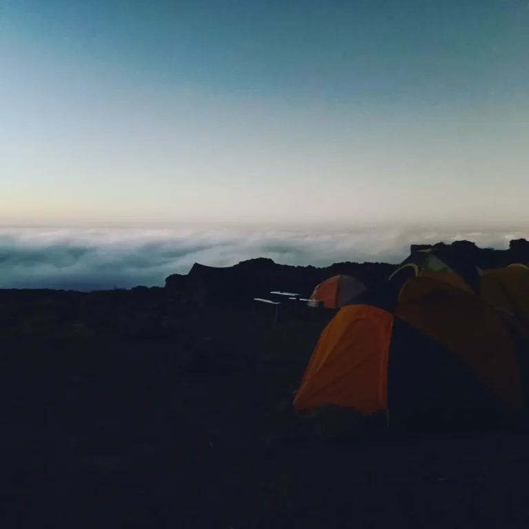
Rongai Route. The Rongai Route approaches Kilimanjaro from the north (near the Kenyan border) and traverses the eastern side of the mountain before joining the Marangu summit path. Rongai climbers camp at Mawenzi Tarn (roughly 4,315m/14,156 ft) — a small lake in a glacial cirque at the northwestern base of Mawenzi. From Mawenzi Tarn, the peak rises directly above camp, close enough to hear rockfall when it happens.
Marangu Route. The Marangu Route climbs the southeastern side of Kilimanjaro and crosses the saddle between Mawenzi and Kibo on the way to Kibo Hut. The saddle walk is an extended high-altitude plain with Mawenzi to your east and Kibo to your west — one of the most dramatic stretches of any Kilimanjaro itinerary.
Northern Circuit. The Northern Circuit Route circumnavigates Kibo and passes across the northern saddle, giving views of Mawenzi from angles few other climbers see.
Machame and Lemosho routes stay on the southern and western sides of the mountain. Climbers see Mawenzi from Barafu Camp and the summit approach, but from a distance — across the saddle, not beside it.
If Mawenzi matters to you as a visual feature, Rongai gets you closest to it. Most climbers who see Mawenzi Tarn and the peak rising above it describe it as one of the most striking landscapes on the mountain.
Can Trekkers Climb Mawenzi?
Short answer: no. Not without technical rock climbing gear and experience.
Hans Meyer Peak and the secondary peaks of Mawenzi require:
- Technical rock climbing. Grades vary by route, with the easier approaches rated roughly UIAA III to IV (Grade 3 to 4 on the Alpine scale) — moderate rock climbing with protection. Harder routes on Mawenzi reach UIAA V and above.
- Climbing gear. Ropes, harnesses, helmets, rock protection, ice axe for some sections.
- Experience at altitude. The rock sections are at 4,800m to 5,100m — altitude where technical climbing is significantly harder than at sea level.
- Special permits. Tanzania National Parks (TANAPA) treats Mawenzi separately from the standard trekking routes. Permits are issued on application and are typically granted only to experienced climbers with documented background.
- A guide qualified for technical climbing. Most Kilimanjaro guides are wilderness and trekking specialists, not technical rock climbers. Mawenzi requires the rarer subset of guides who hold both licenses.
The number of climbers who attempt Mawenzi in any given year is small — typically fewer than 100. Most are experienced alpinists combining it with a broader East African climbing trip.
Kilimanjaro Sky does not currently run Mawenzi climbs as a standard product. If you’re an experienced technical climber interested in attempting it, get in touch and we can discuss what would be required — but for most trekking-focused climbers, the answer is to enjoy Mawenzi as a view, not a summit.
Why Mawenzi Matters to a Kilimanjaro Climb
Most climbers will never touch Mawenzi’s rock. They’ll see it from camp, photograph it at sunrise, walk past it on the Marangu saddle, or camp beneath it at Mawenzi Tarn. Even so, the peak matters to a Kilimanjaro climb in a few specific ways:
Weather comes off Mawenzi. On many days, you can watch cloud forming on Mawenzi and moving west across the saddle toward Kibo. Guides read the weather partly by watching how Mawenzi collects or sheds cloud. If Mawenzi is clouding in fast at midday, afternoon weather on the summit approach is likely to deteriorate.
Mawenzi makes the scale of the mountain legible. From below, Kilimanjaro is so large it’s hard to read. Having a sharp reference peak 5km east of Kibo at a similar elevation lets your eyes anchor. Without Mawenzi, the mountain reads as one gentle dome. With it, you can see the scale and structure.
Mawenzi is the mountain’s second life. Kibo is still geologically alive. Mawenzi shows you what Kilimanjaro will eventually look like when the volcanic activity ends and only erosion is left. It’s the mountain’s future, visible now.
Mawenzi in Local Culture
In Chagga oral tradition — the indigenous people of the mountain’s southern and eastern slopes — Mawenzi is often characterised as Kibo’s sibling, older and more troubled. One version of the story has Mawenzi running out of firewood and going to borrow some from Kibo. Mawenzi asks repeatedly and is repeatedly refused, eventually becoming so angry that the two peaks come to blows — and the marks of that struggle are visible on Mawenzi’s broken face today.
Origin stories about mountains are common across East African cultures. The Chagga version of Mawenzi is one of the quieter ones — less about conquest or heroism, more about two siblings and a dispute that left one permanently marked. If you’re interested in the cultural context of the region, our post on the Chagga people of Kilimanjaro goes deeper.
Photographing Mawenzi
Mawenzi is one of the most photogenic features on Kilimanjaro, partly because it catches light so differently from Kibo. A few practical notes:
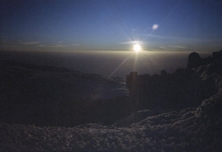
Sunrise from Barafu or Kibo Hut. Mawenzi faces east, so sunrise lights its western face — the face you’re looking at from the main summit camps. On clear mornings, the peak goes pink-orange for roughly 5 minutes before turning to harsh white. Your climb is probably already underway for the summit at this hour, but if you’re acclimatizing at Kibo Hut the day before summit night, this is the shot.
Mawenzi Tarn. If you’re on Rongai and camp at Mawenzi Tarn, wake for sunrise. The reflection of Mawenzi in the tarn is one of the most distinctive images in African mountaineering, and it is available to anyone willing to unzip a tent at 5:30am.
From the saddle. If you’re on Marangu or Rongai crossing the saddle between Mawenzi and Kibo, stop and look back. Mawenzi from the saddle — wide-angle, isolated, with the Kibo summit slope dropping away behind you — is one of the more quietly dramatic shots on the mountain.
The Bottom Line on Mawenzi
For the vast majority of Kilimanjaro climbers, Mawenzi is the peak that lives in the background of your climb. You’ll look at it for hours from camp. You’ll photograph it. You’ll walk near its base. You won’t summit it, and you don’t need to.
If you want to experience Mawenzi more directly without technical climbing, a Rongai itinerary with a rest day at Mawenzi Tarn is the best way to do it. You’ll camp at the base of the peak, wake up looking at it, and walk acclimatization loops on its lower flanks. The Rongai Route page covers the full itinerary. You can also compare all our routes on the routes overview if you’re still deciding.
We run every one of our Kilimanjaro climbs with 1 lead guide and 1 assistant guide per 2–3 climbers. We pay our porters directly after descent, at a fair wage, with weight limits enforced at the park gate. We do this because it’s how we want to run a climbing company — the full context is on our about page. If you’re planning a climb that puts you close to Mawenzi, we’d like to hear from you.