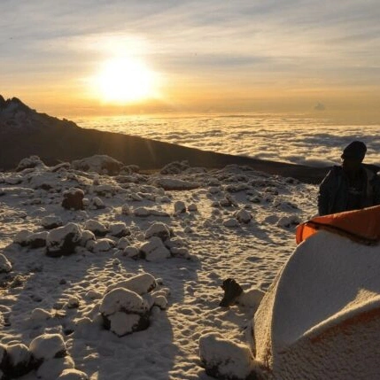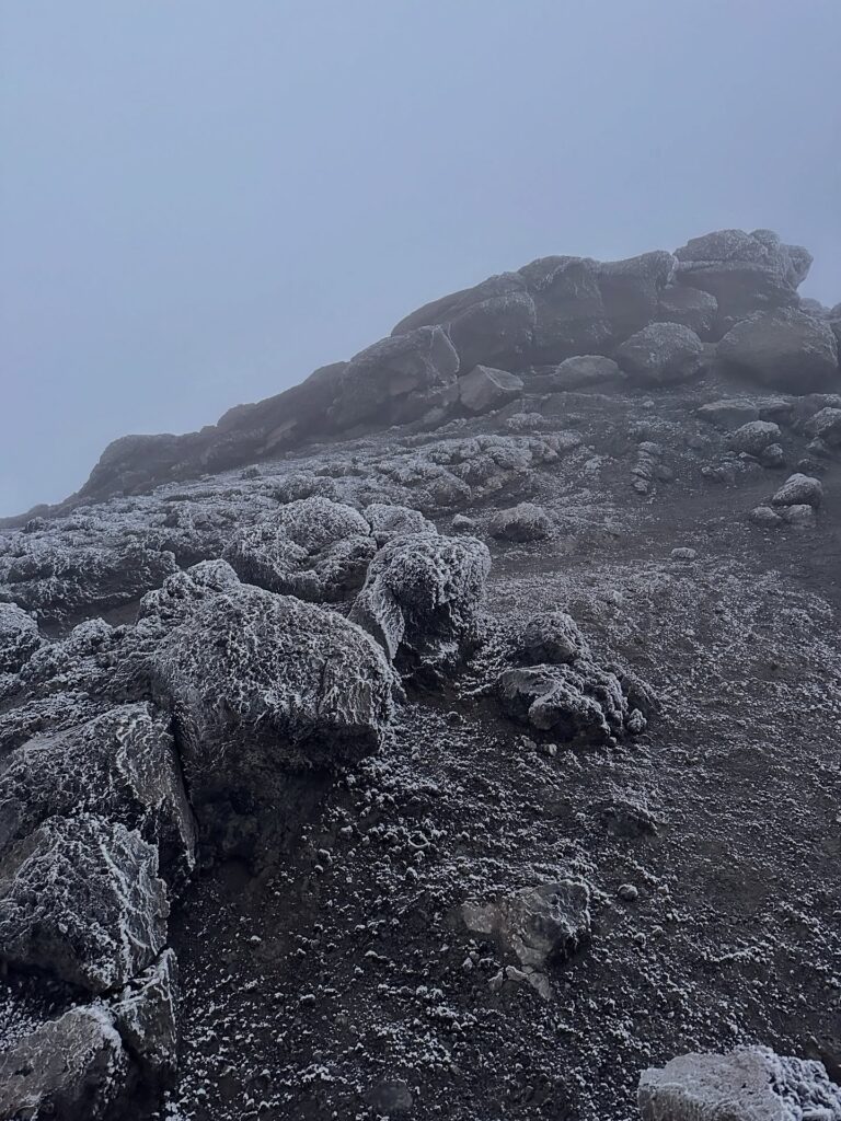
Most people who climb Kilimanjaro picture it as a single mountain. It isn’t. Kilimanjaro is a stratovolcano with three separate cones, each with its own eruptive history, that grew together over hundreds of thousands of years to form the massif we climb today. Understanding the geology changes what you see on the trail — the Shira Plateau is the collapsed floor of an ancient volcano, the Lava Tower on the Machame route is a plug of solidified magma, and the Reusch Crater at the summit still contains active fumaroles that smell faintly of sulphur.
This is the geological story, told in a way that’s useful for climbers rather than volcanologists.
The Three Cones of Kilimanjaro
Kilimanjaro’s three volcanic cones are not side by side — they are stacked and merged into a single massif roughly 80 kilometres long and 48 kilometres wide at the base. From oldest to youngest:
Shira — the oldest cone. Activity began around 2.5 million years ago and it reached a height of roughly 5,000 metres before it stopped erupting around 500,000 years ago. Shira subsequently collapsed, and its crater floor is now the high plateau that gives the Shira Route and Lemosho Route their distinctive character. The highest surviving point of Shira today is around 3,962 metres.
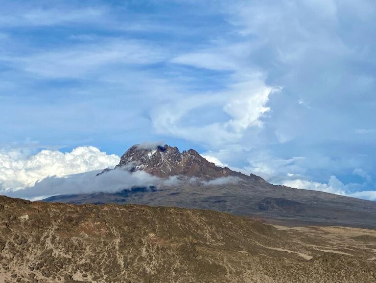
Mawenzi — the second cone, rising to 5,149 metres (16,893 ft). Mawenzi’s last major eruptive activity was roughly 450,000 years ago. Heavy erosion since then has turned it into the jagged, spire-like peak you see from the eastern side of the mountain. Mawenzi is not part of standard climbing routes — it involves technical rock climbing rather than trekking — but you walk past it on the Rongai Route and pass beneath it on the Northern Circuit.
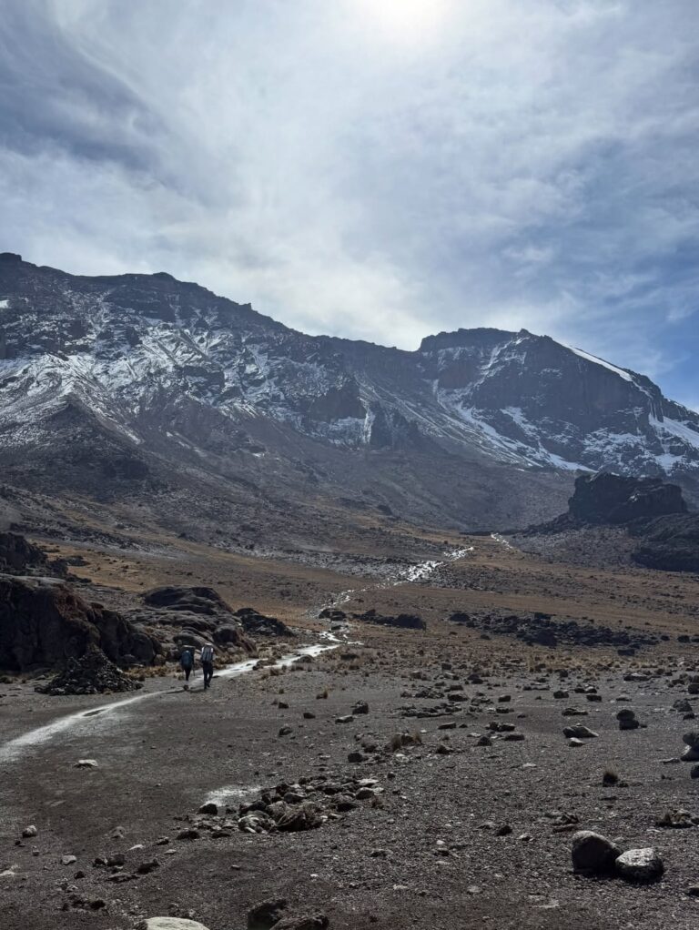
Kibo — the youngest and tallest cone, and the one every climber ascends. Kibo sits between Shira and Mawenzi and is still considered dormant rather than extinct. Its most recent major eruption is dated to around 150,000 to 200,000 years ago, but minor eruptive activity has continued. The last significant event produced the inner Reusch Crater roughly 200 years ago, based on gas measurements and carbon dating of volcanic deposits.
When climbers talk about “the summit,” they mean Uhuru Peak on Kibo — the highest point on its outer crater rim, at 5,895 metres above sea level. We cover what that altitude means in practice in our post on how tall Kilimanjaro is.
How Kilimanjaro Formed
Kilimanjaro sits on the eastern branch of the East African Rift System, a continental rift where tectonic forces are slowly pulling the African plate apart. Rift zones are characteristically volcanic because the thinning crust allows magma to rise more easily toward the surface. Most of the great volcanoes of East Africa — Meru, Kenya, the Virunga mountains, Ol Doinyo Lengai — trace their origins to this same tectonic setting.
The sequence on Kilimanjaro went roughly as follows:
- Shira built up first, starting around 2.5 million years ago, reaching a large shield before it went quiet and partially collapsed.
- Mawenzi then became active, building up on the eastern flank of Shira’s remains.
- Kibo was the last to rise, erupting repeatedly over several hundred thousand years and eventually reaching the height we see today.
- Lava flows from Kibo covered much of the collapsed Shira caldera, flowed over saddles, and built the continuous massif we now think of as one mountain.
The trail evidence is clear if you know what to look for. On the Machame and Lemosho routes, you walk past the Lava Tower at around 4,630 metres (15,190 ft) — a volcanic plug, essentially a chunk of solidified magma exposed after the surrounding softer rock eroded away. On the Marangu Route, the black boulders of the Saddle between Mawenzi and Kibo are old lava flows. On every route, the deep valleys you descend into (Barranco, Karanga, the Great Barranco Wall) are erosional features cut into soft volcanic ash and pyroclastic deposits.
Is Kilimanjaro Still Active?
Yes — dormant, not extinct. This distinction matters.
Kibo’s inner Reusch Crater contains active fumaroles, vents that release volcanic gases including carbon dioxide, hydrogen sulphide, and sulphur dioxide. You can smell the sulphur near the Ash Pit, a 350-metre-wide, 120-metre-deep pit within the Reusch Crater that represents the most recent vent activity. There is no current magma eruption, no lava flow, and no immediate eruptive threat — but the system is still geologically alive.
Some climbers on longer itineraries take a side excursion to the Ash Pit or to the glacier edge inside the crater. This is optional, adds significant effort at extreme altitude, and is not part of our standard itineraries. It should only be considered if you’re climbing with extra acclimatisation time and are feeling strong at altitude.
For most climbers, the answer to “is Kilimanjaro still active?” matters less than the answer to “is it safe to climb?” — and on that question, the volcanic risk is essentially zero for any realistic trip. Volcanic monitoring in Tanzania, combined with the fact that Kibo has not had a significant eruption in 200 years and has shown no precursor signs of eruption, means the mountain is considered stable for climbing purposes.

The Glaciers
Kilimanjaro’s glaciers are one of its most iconic features — a snow-capped volcano sitting just three degrees south of the equator. They are also, unfortunately, disappearing fast.
When the mountain was first summited by Hans Meyer and Ludwig Purtscheller in 1889, the summit was capped with a continuous ice sheet. Today’s glaciers are fragmented remnants — the Northern Icefield, the Furtwängler Glacier (named after Walter Furtwängler, who made the first ski descent of the mountain in 1912), the Southern Icefield, and the Rebmann Glacier. Researchers have documented a loss of roughly 80% of the ice mass since 1912.
The causes are contested but include reduced precipitation at the summit (itself a feature of long-term climate shifts in East Africa), increased solar radiation reaching the ice due to reduced cloud cover and thinner atmosphere, and direct sublimation — ice converting straight to water vapour in the dry equatorial air. Rising global temperatures play a role but are not the dominant driver at this specific altitude in this specific climate.
If projections hold, Kilimanjaro’s remaining glaciers may be largely gone within the next few decades. This changes how summit day looks — the glacial walls beside Uhuru Peak are still dramatic, but they are visibly thinner than they were even ten years ago.
What You Walk Through on the Climb
Geology isn’t just a background fact on Kilimanjaro — it’s what you’re walking on. Each of the five climate zones sits on distinct volcanic terrain:
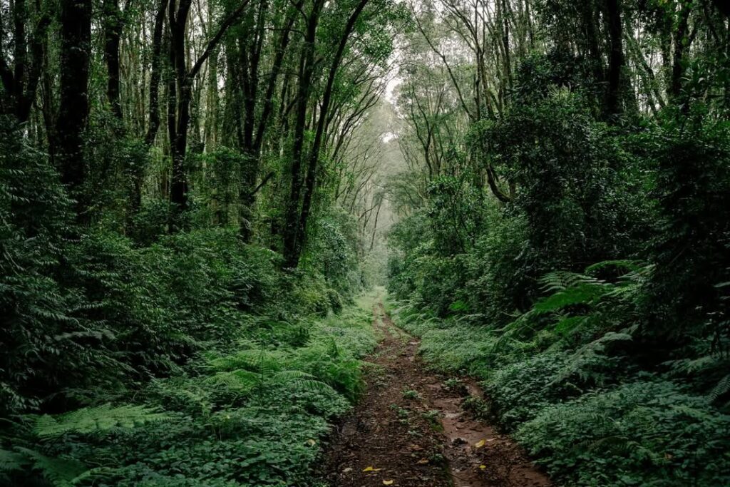
- Cultivated zone and rainforest (800–2,800m/2,624-9,186 ft): Deep, fertile soils derived from weathered basaltic ash. This is why Chagga farmers grow some of Tanzania’s best coffee here.
- Heath and moorland (2,800–4,000m/9,186-1,312 ft): Thinner soils over harder volcanic rock. Giant groundsels and lobelias, the mountain’s famous plants, thrive in this zone.
- Alpine desert (4,000–5,000m/13,123-16,404 ft): Exposed volcanic rock, scoria (lightweight volcanic pumice), and the scree fields of the Saddle between Kibo and Mawenzi.
- Arctic summit zone (5,000m+/16,404 ft+): Ash, pumice, lava plugs, and the glaciers themselves.
You walk through almost a million years of geological history in 6 to 9 days. This is one of the things that makes Kilimanjaro distinctive among the world’s great climbs — the compressed sequence of landscapes on a single mountain is hard to find elsewhere.
What This Means for Your Climb
Understanding Kilimanjaro’s geology doesn’t change the physical difficulty of the climb, but it changes what you notice. The Lava Tower becomes a volcanic plug, not just a landmark. The Shira Plateau becomes an ancient collapsed caldera. The sulphur smell at the summit is an active volcanic system, not a passing curiosity. The long wall of the Great Barranco is erosion cutting through soft ash deposits laid down hundreds of thousands of years ago.
Our guides are trained to share this context on the trail — not as a lecture, but at the right moments. If geology is something you’re interested in, let them know at the pre-climb briefing and they’ll point out features as you pass them.
Ready to see this up close? Browse our routes and packages, or contact us to talk through your climb.